
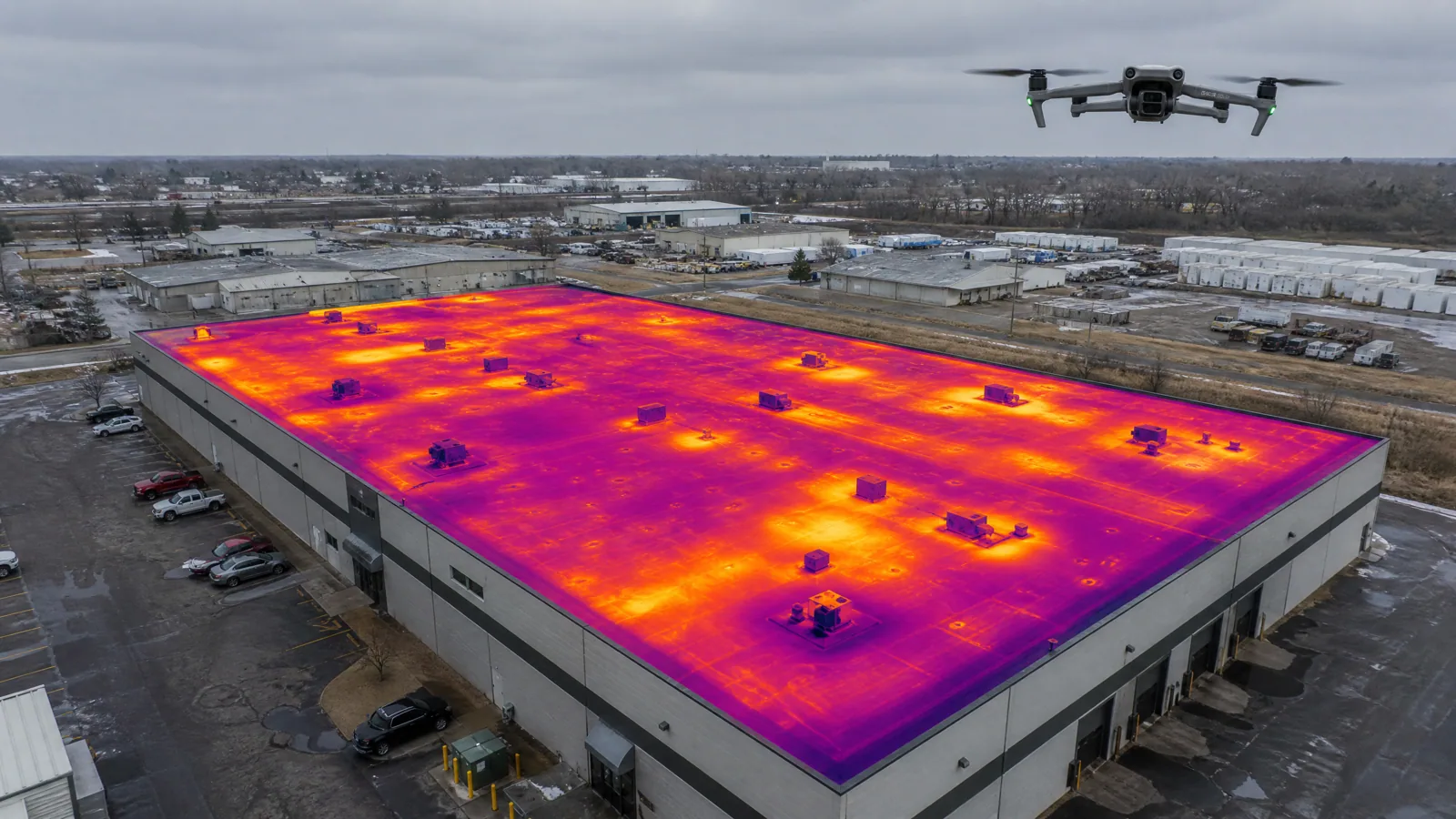
Some roofs are better seen from fifty feet up than from the surface. A drone passes over a large building in a few minutes, photographs every square foot at a consistent angle, and shows ponding, patched areas, displaced coping and debris in one image set. It does not replace a walk on the roof, and we never pretend it does. What it does is tell us where the walk should concentrate, and it lets us see parts of a roof that are unsafe to cross. For large commercial buildings in Queens, NY, that combination saves time and keeps people off fragile surfaces.
We use drone imaging as the first step on big or complicated roofs, and we follow it with hands-on checks in the places the images flag. The owner gets a clear visual record and a plan, not a stack of unlabelled photographs.
How does a drone survey work?
We plan the flight over a roof plan, set the altitude and overlap, and fly a grid so that each photograph overlaps the next. Images are taken straight down for mapping and at an angle for edges and walls. Flights go ahead only in suitable weather, in line with the airspace rules for the area, and we check those before a flight. Wind is a limit, and so is glare, so timing matters.
The images are then assembled into a single map of the roof, which can be zoomed to read individual fasteners and seams. We mark ponding stains, discoloration, open laps, loose coping, missing fasteners, exposed insulation and debris. Where a thermal camera is used, we also read temperature differences across the surface. That feeds into an infrared moisture survey when wet insulation is suspected, since a thermal image taken in the right conditions can show where the roof holds heat longer than its surroundings.
Resolution is the quiet strength of the method. A single image can show whether a seam is open, whether sealant has cracked at a pipe, and whether a fastener head has backed out, all without anyone crossing the roof. The same image also shows how water moves: stains and sediment trace the route to the drain, and where the trail ends short of an outlet, the slope is wrong.
Where does a drone help the most?
Large, low-slope roofs are the clearest case. In industrial Maspeth, or across the 550 acres of the College Point Corporate Park, a wide roof can take hours to walk and minutes to map from the air. A map also helps when the roof is crowded with rooftop equipment, because the images show how ponding and wear line up with curbs and walkways.
Drones also help where access is hard. Tall podium roofs, roofs behind parapets without safe edge protection, areas with fragile skylights, and roofs that are weak from age are places where we prefer to send an aircraft rather than a person. Mixed-use buildings in Long Island City, where converted factories sit beside newer residential and commercial buildings, often combine several roof levels that are hard to see from any single vantage point.
What can a drone not tell you?
A drone cannot feel a soft spot, probe a seam, or smell a mold problem. It cannot see through a membrane to find wet insulation unless a thermal camera is used in suitable conditions, and even then the reading needs confirmation. It cannot tell us whether a flashing is tight behind a counterflashing, or whether a deck is rusted from below. These require hands on the roof and sometimes a core sample.
That is why every drone survey ends with a short hands-on visit to the places the images flag. We probe the seams that look open, handle the flashing that looks displaced, and cut a core where the thermal image suggests moisture. The images tell us where to look, and the hands-on check tells us what we are looking at. Together they make a stronger roof inspection than either alone.
Does a drone help after a storm?
It does, particularly for a quick first look. After a heavy storm, an aerial pass can show displaced coping, torn membrane edges, debris on the surface and standing water that has not drained. After Hurricane Ida's remnants produced the city's first flash flood emergency in September 2021, a quick aerial view of drains and low spots was the kind of early evidence an owner could use. After Hurricane Sandy in October 2012 the whole Rockaway peninsula had been under a mandatory evacuation order, and roofs near the shoreline, in places such as Far Rockaway, merit a prompt look from above before a crew goes up.
The images also serve as a dated record for insurance. A map taken within days of a storm, compared with one from the previous season, helps show what changed and when. That record supports a claim and helps the adjuster understand the sequence of damage.
What does the owner receive?
The owner gets a labelled map of the roof, a set of annotated photographs, and a short list of findings with their locations. If thermal imaging was part of the survey, the report includes the thermal images beside ordinary photographs of the same area so the reader can match them. We write the findings in plain terms and rank them by urgency.
The same images can feed a long-term plan. Repeated surveys taken at the same time of year from the same flight path are easy to compare, so a worn walkway or a growing pond shows up as a change between two images. For owners with several buildings, this makes multi-site roof programs easier to run, since every roof is documented in the same way and the next repair or replacement can be chosen from the evidence.
Questions Owners Ask
What building owners and managers usually ask before a roof visit.
It is a good start, not the whole answer. The images give us the roof's size, layout, drains, penetrations and visible condition, which are the basis for a rough scope. But pricing a replacement also needs core cuts, a moisture reading and a look at the deck, because those hidden conditions can change the cost sharply. We use the survey to plan the hands-on work and then write a scope that reflects what we find.
Yes. Airspace near airports is restricted, and Queens contains both JFK and LaGuardia, so we check the airspace rules for a property before planning a flight. Some sites also have their own restrictions or require permission from the property owner. If a flight is not allowed, we do the survey on foot with fall protection and take photographs from safe vantage points.
They may, since a drone is visible and audible at low altitude. We keep flights short, tell the property manager beforehand, and avoid flying over people. The work is quick compared with a full walk, which is one reason owners with active buildings prefer it. If privacy is a concern for a tenant, we plan the flight path to stay over the roof.
Once a year is a good rhythm for a large roof, with an extra flight after a significant storm. Matching the season and time of day makes comparisons easier. For roofs on a preventive maintenance plan, the flight fits naturally alongside the fall visit, before winter loads arrive.
Related Roofing Work
Other pages that connect to Drone Roof Inspections.
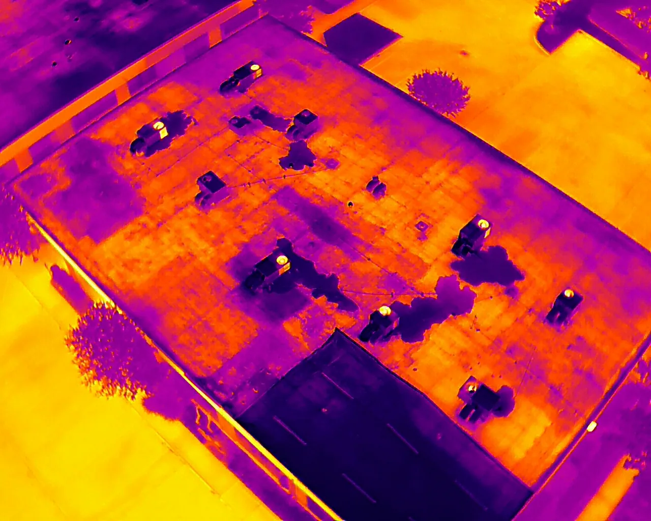
Infrared Roof Moisture Surveys
Infrared scans and core-cut moisture surveys for Queens, NY commercial roofs that locate wet insulation before the owner commits to repair or replacement.
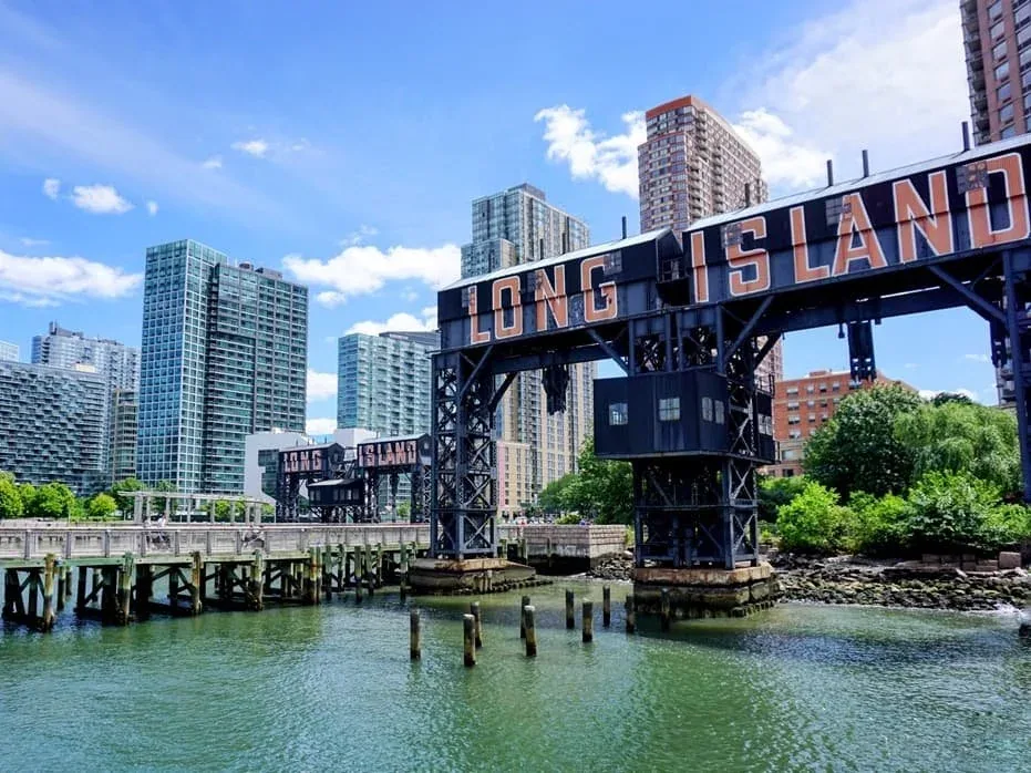
Long Island City
Commercial roof repair and replacement in Long Island City, Queens, NY, for masonry industrial buildings, converted factories and newer mixed-use roofs.
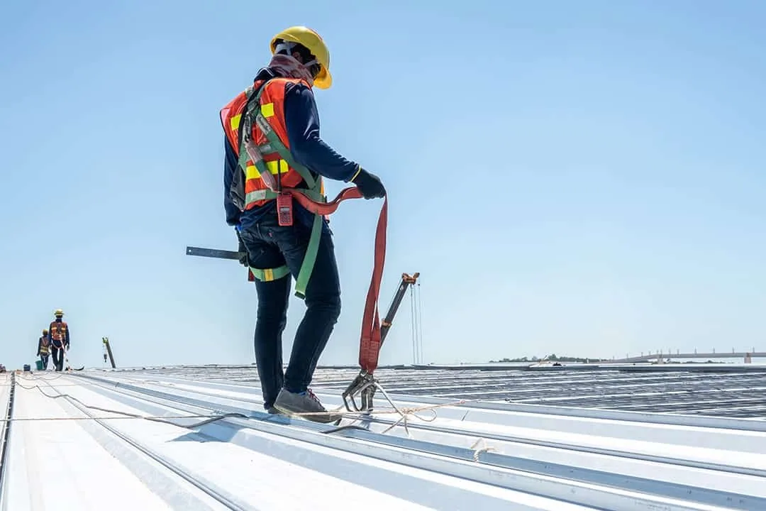
Commercial Roof Inspections
Hands-on commercial roof inspections in Queens, NY, with written findings, photographs and a ranked list of what to fix now and what can wait.
Ready to Talk About Drone Roof Inspections?
Tell us about the building and what you are seeing. We will schedule a roof walk and send photos and a written scope.